Snezhnaya
Appearance
| Snezhnaya | |
|---|---|
 View of the river | |
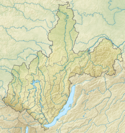
Mouth location in Irkutsk Oblast, Russia | |
| Location | |
| Country | Russia |
| Physical characteristics | |
| Source | Khamar-Daban mountains |
| • coordinates | 51°04′36″N 103°17′32″E / 51.07667°N 103.29222°E |
| Mouth | Lake Baikal |
• coordinates | 51°28′33″N 104°37′28″E / 51.4757°N 104.6245°E |
| Length | 173 km (107 mi) |
| Basin size | 3,020 km2 (1,170 sq mi) |
| Basin features | |
| Progression | Lake Baikal→ Angara→ Yenisey→ Kara Sea |
The Snezhnaya (Russian: Снежная lit: Snowy) is a river in Buryatia and Irkutsk Oblast, Siberia, Russia.
Course
[edit]It is one of the main tributaries that feed into Lake Baikal. It is named after the primary source of its water: snowmelt. The river starts in the Khamar-Daban mountains, where melting snow and rainfall during warm weather flow into the river and run down the mountain. It is 173 kilometres (107 mi) long, and has a drainage basin of 3,020 square kilometres (1,170 sq mi).[1]
See also
[edit]References
[edit]- ^ "Река Снежная (Удулха) in the State Water Register of Russia". textual.ru (in Russian).
External links
[edit] Media related to Snezhnaya River at Wikimedia Commons

