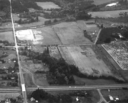
Bonita, Oregon
Appearance
Bonita | |
|---|---|
 Bonita Road crossing Interstate 5 | |
Location within Oregon[1] | |
| Coordinates: 45°25′1″N 122°45′54″W / 45.41694°N 122.76500°W | |
| Country | United States |
| State | Oregon |
| County | Washington |
| Elevation | 187 ft (57 m) |
| Time zone | UTC-8 (Pacific (PST)) |
| • Summer (DST) | UTC-7 (PDT) |
| ZIP codes | 97224 |
| GNIS feature ID | 1166618[2] |
Bonita is a former unincorporated community in Washington County, Oregon, United States, now located within the boundaries of the city of Tigard. Not to be confused with Bonita neighborhood in Malheur County also in Oregon.
History
[edit]The name "Bonita" derives from the Spanish word meaning "beautiful"; and it was named by local resident George W. Cassaday. Bonita was a former station of the Oregon Electric Railway.[3]
References
[edit]- ^ "Bonita (in Washington County, OR) Populated Place Profile". HomeTownLocator. Retrieved October 18, 2016.
- ^ U.S. Geological Survey Geographic Names Information System: Bonita, Oregon
- ^ McArthur, Lewis L. (1992). Oregon Geographic Names (sixth edition). Oregon Historical Society Press. p. 84. ISBN 0-87595-236-4.


