
File:Republic of the Congo (orthographic projection).svg

Size of this PNG preview of this SVG file: 600 × 600 pixels. Other resolutions: 240 × 240 pixels | 480 × 480 pixels | 768 × 768 pixels | 1,024 × 1,024 pixels | 2,048 × 2,048 pixels.
Original file (SVG file, nominally 600 × 600 pixels, file size: 559 KB)
| This is a file from the Wikimedia Commons. Information from its description page there is shown below. Commons is a freely licensed media file repository. You can help. |
Summary

| Description |
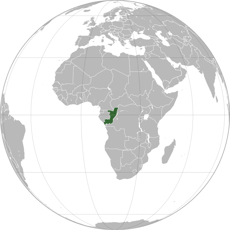
English: Republic of the Congo (orthographic projection)
Português: República do Congo (projeção ortográfica)
Español: República del Congo (proyección ortográfica) |
|||
| Date | ||||
| Source | File:African Union (orthographic projection).svg | |||
| Author |
Marcos Elias de Oliveira Júnior |
|||
| Permission (Reusing this file) |
|
|||
| Other versions |
.svg) |
|||
| SVG development | This vector image was created with a text editor. |
.svg)
.svg)
.svg)
.svg)
.svg)
.svg)
.svg)
.svg)
.svg)
.svg)
.svg)
.svg)
.svg)
.svg)
.svg)
.svg)
.svg)
.svg)
.svg)
.svg)
.svg)
.svg)
.svg)
.svg)
.svg)
.svg)
.svg)
.svg)
.svg)
.svg)
.svg)
.svg)
.svg)
.svg)
.svg)
.svg)
.svg)
.svg)
.svg)
.svg)
.svg)
.svg)
.svg)
.svg)
.svg)
.svg)
.svg)
.svg)
.svg)
.svg)
.svg)
.svg)
.svg)
.svg)
.svg)
.svg)
.svg)
.svg)
.svg)
.svg)
.svg)
.svg)
.svg)

.svg)
.svg)
.svg)
.svg)
.svg)
.svg)
.svg)
.svg)
.svg)

.svg)

.svg)

.svg)
.svg)
.svg)
.svg)
.svg)
.svg)
.svg)


.svg)
.svg)
.svg)
.svg)
.svg)
.svg)
.svg)

.svg)
.svg)
.svg)
.svg)
.svg)
.svg)
.svg)
.svg)
.svg)
.svg)

.svg)
.svg)
.svg)
.svg)
.svg)
.svg)
.svg)
_without_national_boundaries.svg)
.svg)
.svg)
.svg)
.svg)
.svg)
.svg)

.svg)
.svg)
.png)
.svg)
.svg)
.svg)
.svg)

.svg)
.svg)
.svg)
.svg)
.svg)
.svg)
.svg)
.svg)
.svg)
.svg)
.svg)

.svg)
.svg)
.svg)
.svg)
.svg)
.svg)
.svg)
.svg)
.svg)

.svg)
.svg)

.svg)
.svg)
.svg)
.svg)
.svg)
.svg)
.svg)
.svg)
.svg)
.svg)
.svg)
.svg)
.svg)
.svg)
.svg)
.svg)
.svg)
.svg)
.svg)
.svg)
.svg)
.svg)
.svg)
.svg)
.svg)
.svg)
.svg)
_-_Crimea_disputed.svg)
.svg)
.svg)
.svg)
.svg)
.svg)
.svg)
.svg)
.svg)
.svg)
.svg)
.svg)
_political.svg)
.svg)
.svg)
.svg)
.svg)
_-_Crimea_disputed_-_no_borders.svg)
.svg)
.svg)
.svg)
.svg)
.svg)
.svg)
.svg)
.svg)
.svg)
.svg)
.svg)

.svg)
.svg)
.svg)

.png)
.svg)
.svg)
.svg)
.svg)
.svg)
.svg)
.svg)
.svg)
.svg)
.svg)
.svg)
.svg)
.svg)
.svg)
.svg)
.svg)
.svg)
.svg)
.svg)
.svg)
.svg)
.svg)
.svg)
.svg)
.svg)
.svg)
.svg)
.svg)
.svg)
.svg)
.svg)
.svg)
.svg)
.svg)
.png)
.svg)
.svg)
.svg)
_(orthographic_projection).png)
.svg)
.svg)
File history
Click on a date/time to view the file as it appeared at that time.
| Date/Time | Thumbnail | Dimensions | User | Comment | |
|---|---|---|---|---|---|
| current | 15:44, 30 March 2025 | | 600 × 600 (559 KB) | M.Bitton | + title |
| 15:07, 30 March 2025 |  | 600 × 600 (559 KB) | M.Bitton | Cleaner version of the stable map | |
| 14:20, 30 March 2025 |  | 550 × 550 (283 KB) | M.Bitton | Reverted to version as of 17:56, 15 July 2011 (UTC): per COM:OVERWRITE | |
| 22:55, 29 March 2025 |  | 550 × 550 (3.3 MB) | Remsense | fully algorithmically generated locator map via https://observablehq.com/@mikima/wikipedia-grey-green-orthographic-projections-maps-gener/2, resolving glaring longstanding border glitches | |
| 17:56, 15 July 2011 |  | 550 × 550 (283 KB) | Mixx321 | South Sudan | |
| 16:20, 19 June 2011 |  | 550 × 550 (282 KB) | Marquinhos | {{Information |Description ={{en|1=Republic of the Congo (orthographic projection)}} {{pt|1=República do Congo (projeção ortográfica)}} {{es|1=República del Congo (proyección ortográfica)}} |Source ={{own}}{{inkscape}} |Author =[ |
File usage
The following 5 pages use this file:
Global file usage
The following other wikis use this file:
- Usage on ami.wikipedia.org
- Usage on ar.wikipedia.org
- جمهورية الكونغو
- مستخدم:جار الله/قائمة صور مقالات العلاقات الثنائية
- العلاقات الأمريكية الكونغوية
- العلاقات الأنغولية الكونغوية
- العلاقات الكونغوية الكورية الجنوبية
- العلاقات الإريترية الكونغوية
- العلاقات السويسرية الكونغوية
- العلاقات الألمانية الكونغوية
- العلاقات الكونغوية الليختنشتانية
- العلاقات البوليفية الكونغوية
- العلاقات الكونغوية الموزمبيقية
- العلاقات الألبانية الكونغوية
- العلاقات البلجيكية الكونغولية
- العلاقات الإثيوبية الكونغوية
- العلاقات البيلاروسية الكونغوية
- العلاقات الطاجيكستانية الكونغوية
- العلاقات الروسية الكونغوية
- العلاقات الرومانية الكونغوية
- العلاقات الأرجنتينية الكونغوية
- العلاقات الغامبية الكونغوية
- العلاقات القبرصية الكونغوية
- العلاقات السيراليونية الكونغوية
- العلاقات الكونغوية النيبالية
- العلاقات الكونغوية الليبيرية
- العلاقات التشيكية الكونغوية
- العلاقات الكونغوية الميانمارية
- العلاقات الكندية الكونغوية
- العلاقات السعودية الكونغوية
- العلاقات الزيمبابوية الكونغوية
- العلاقات الإسرائيلية الكونغوية
- العلاقات البالاوية الكونغوية
- العلاقات الكونغوية المالية
- العلاقات الكونغوية النيجيرية
- العلاقات الكونغوية اليمنية
- العلاقات الفانواتية الكونغوية
- العلاقات الغابونية الكونغوية
- العلاقات البنمية الكونغوية
- العلاقات الكوبية الكونغوية
- العلاقات الجورجية الكونغوية
- العلاقات التونسية الكونغوية
- العلاقات الكونغوية الكورية الشمالية
- العلاقات الكونغوية الهندية
- العلاقات الكونغوية اليابانية
- العلاقات الإيطالية الكونغوية
- العلاقات الكونغوية الناوروية
- العلاقات الأسترالية الكونغوية
- العلاقات الزامبية الكونغوية
View more global usage of this file.
.svg)
.svg)